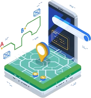
Drone Service & Mobile Application
Elevate Your Perspectives with Precision Drone Services and Intuitive Mobile Applications. Unlock the Power of Aerial Insights for Informed Decision-Making
Login
Satellite Imagery & Remote Sensing
Explore Beyond Horizons with High-Resolution Satellite Imagery and Cutting-Edge Remote Sensing Technologies. Visualize, Analyze, and Transform Data for Comprehensive Geospatial Solutions.
Login
Latitude EDU - Live Streaming Platform
Latitude EDU is a powerful web-based live-streaming platform designed specifically for educators, teachers, and mentors.
Login
LATITUDE GEOSENSE AUTOMATES THE END-TO-END PROCESS
Latitude Geosense uses open-source satellite data to identify worksite boundaries and create autonomous mission plans that capture every detail of your worksite.
Login
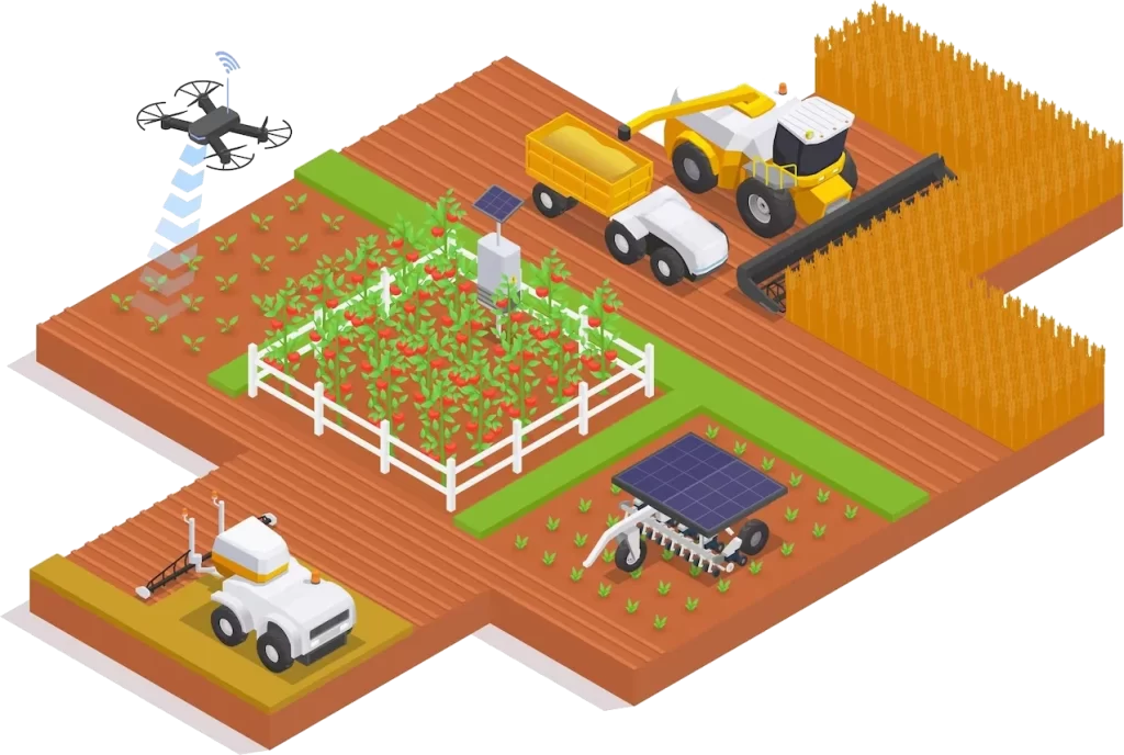
Revolutionizing Agriculture with Satellite Technology
Experience the future of agriculture with Latitude Sat2Farm. Harness satellite technology for precision farming and optimal crop management. Maximize yields and efficiency with our innovative solutions.
Login
Empowering Connectivity for Efficient Fleet Management
Streamline your fleet operations with Latitude Telematics. Enhance vehicle tracking, monitoring, and maintenance for optimal performance. Experience efficient logistics management with our innovative solutions.
Login
Our Services
Explore a spectrum of services designed to elevate your business, from cutting-edge geospatial solutions to strategic planning and data analytics.
Geospatial Solutions
Unlock the power of location-based intelligence with our cutting-edge Geospatial Solutions. From mapping to analysis, we provide advanced GIS technology to drive precision and efficiency in your projects.
Data Analytics and Insights
Delve into the world of valuable insights through our Data Analytics and Insights service. Utilizing big data analytics, machine learning, and artificial intelligence, we empower your business with informed decision-making.
Consultation and Strategic
Benefit from our Consultation and Strategic Planning service, where we offer expertise in geospatial strategies, tailored solutions, and the development of strategic plans for seamless implementation. Your success is our priority.
At Latitude Geospatial, we offer cutting-edge technology and strategic insights to drive efficiency and innovation across domains.
Precision Mapping
Elevate Accuracy and Insight
Utilize advanced mapping technology, tailored to your needs, for heightened accuracy and strategic insights.
Smart Analytics
Harness Data Powerfully
Make informed strategic decisions by intelligently analyzing data, turning information into actionable insights.
Innovative Applications
Transform Ideas Efficiently
Bring ideas to life with user-friendly and efficient geospatial applications, turning concepts into reality.
0+
Years Experience
with Geospatial technologies.
Latitude Geospatial empowers businesses and organizations to make informed decisions, optimize operations, and navigate complex spatial challenges. Whether it's mapping, GIS analysis, or geospatial consulting, we are your trusted partner in unlocking the spatial insights that drive success.
Our mission is to empower organizations with advanced geospatial solutions, enabling informed decisions, operational optimization, and success through location intelligence
Our company vision
Our vision is to be a global leader in geospatial innovation, driving positive change through advanced location intelligence solutions
Precision Solutions Suite
Optimize road surveys, measure volumes with precision, enhance agricultural planning, and expedite solar project implementation with advanced technologies.
Road Surveys
Streamline road survey processes for swift and efficient data collection, optimizing transportation planning and infrastructure development.
Optimize road surveys, measure volumes with precision, enhance agricultural planning, and expedite solar project implementation with advanced technologies.
Conducting a comprehensive geophysical survey is at the heart of our expertise, where we leverage spatial data and cutting-edge technology to unveil valuable insights across diverse applications. Our meticulous approach involves a multifaceted process:
Leveraging Spatial Data for In-Depth Insights
Incorporating Cutting-Edge Technology for Precision
Conducting Comprehensive Data Collection
Performing In-Depth Analysis for Interpretation
Applications Across Diverse Domains
GIS Cloud is a dynamic platform revolutionizing the landscape of geospatial data creation, conversion, and collection. With a user-centric approach, it provides a centralized hub for managing spatial information efficiently. Leveraging cutting-edge technology, GIS Cloud ensures seamless collaboration, accessibility, and real-time insights for enhanced geospatial workflows.
Efficient Data Creation
Streamlined Data Conversion
Centralized Data Collection
Collaborative Environment
Accessibility Anytime, Anywhere
Real-Time Mapping is a cutting-edge approach that leverages the power of real-time data streams from in-vehicle GPS devices. This dynamic mapping solution provides instantaneous and up-to-the-minute location data, enabling precise tracking, analysis, and decision-making. By seamlessly integrating real-time information, Real-Time Mapping transforms traditional mapping processes, offering agility and accuracy for diverse applications such as logistics, fleet management, and emergency response.
Explore drone services, satellite imagery, GIS data analysis, and strategic planning for innovative geospatial insights, ensuring unparalleled success.
Strategic GIS Planning
Our services enable organizations to develop a GIS-specific strategic plan that ensures that departmental and corporate leadership are on the same page
GIS Data Creation, Conversion, and Collection
Uncover the reason why accurate and secured digital data is a vital component of a genuine enterprise solution. Allow us to reveal to you how our team makes plans, design, and build reliable GIS
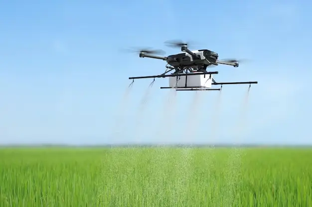
UAVs (Drone) Solutions
Our Aerial Imagery Services utilize UAS (Unmanned Aerial System), these are a faster, safer, and more cost-efficient way to survey utilizing specialized aerial photography UAV's. Our UAVs are equipped with high precision RTK GNSS processing,
Seamlessly integrate and synthesize data from diverse sources for a unified, comprehensive view in the connected world.
Telematics & Fleet
Telematics system information contains clues indicating areas for improvement, from increasing fuel efficiency and pinpointing vehicle locations, to reducing collisions and saving lives.
Fishing Vessel Tracking and Monitoring
Whether you're collecting registration and permit information, supply-chain figures, or enumerator records, our technical staff will work with you to integrate your data streams into a unified fleet knowledge repository.
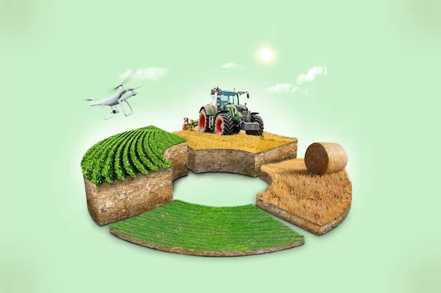
Agriculture
The agriculture industry has grown to leverage the power of GIS, as satellites, drones, web maps, and sophisticated models have opened the door to precision farming. Farmers today are saving time, money, and environmental.
National and Local Government
GIS is used at every level of government, all around the world. Governments collect, manage, and automate data on a very large scale.
Defense and Intelligence
Defense organizations are challenged to take quick and decisive action based on data from numerous systems, sensors, and sources. Using geographic information system (GIS)-based solutions.
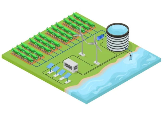
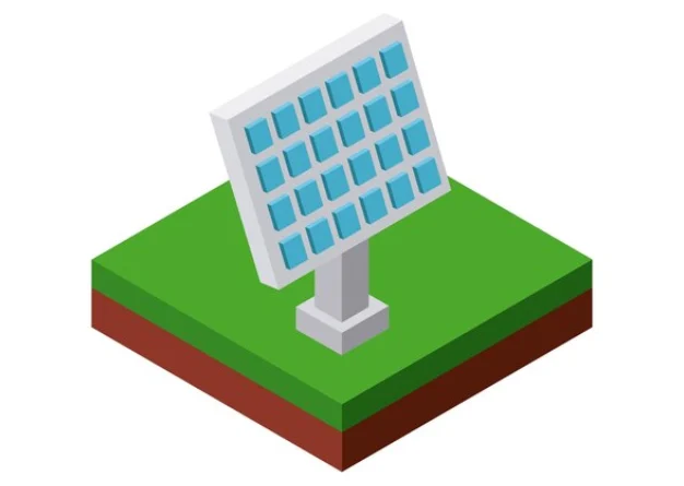
Energy
GIS is being extensively used in the quest to find and develop renewable energy resources, such as wind, solar, geothermal, and biomass energy. GIS also plays an important role in the search for the best locations.
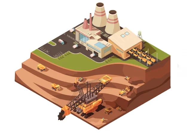
Oil and Gas
Oil and gas resources are clearly location-based assets. Track and manage resources at all stages – upstream, midstream, and downstream, with powerful GIS technologies.
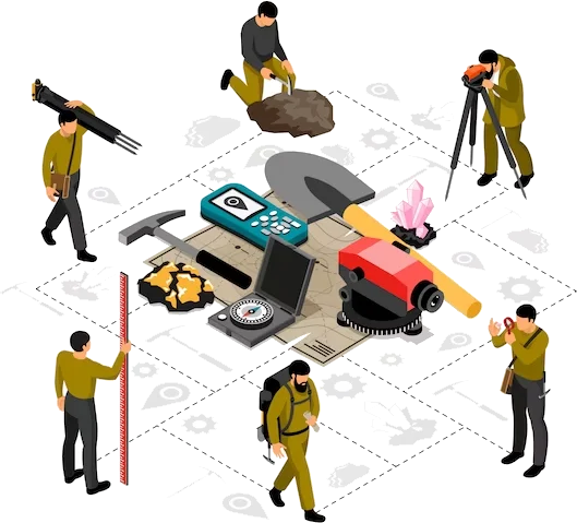
Natural Resources Management
GIS is an essential tool for managing the earth’s resources. Using land cover, vegetation, soil, and geology maps, GIS brings the power of spatial analysis to the table.
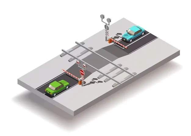
Transportation & Logistics
GIS provides your organization with high quality data, from planning & logistics, to operations & maintenance.
Who we are
Latitude Geospatial, your trusted partner, empowers businesses with informed decision-making and spatial insights for operational optimization.
Spatial Empowerment Hub
Latitude Geospatial empowers businesses and organizations to make informed decisions, optimize operations, and navigate complex spatial challenges. Whether it's mapping, GIS analysis, or geospatial consulting, we are your trusted partner in unlocking the spatial insights that drive success.